
REAL-TIME GEOSPATIAL DATA AND AI
The future of agricultural insurance is already here
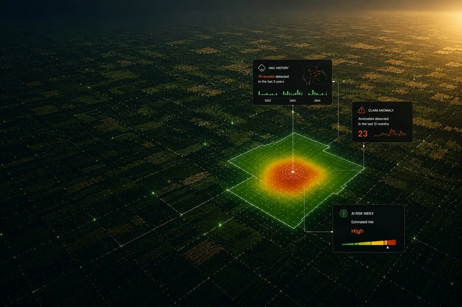
Saturnalia is the first intelligence platform bringing geospatial data and AI into agricultural insurance: from underwriting to monitoring, from claims management to fraud prevention.
One platform, the entire risk cycle
Data, analytics and automation for faster, more accurate and more sustainable decisions

Accurate underwriting
Assess risk with objective data and historical events

Continuous visibility
Monitor exposure, concentration and risk distribution

Real-time monitoring
Detect events and estimate their economic impact on your portfolio

Faster, more objective claims
Reliable data and standardized processes for more efficient loss assessments
→NUMBERS THAT SPEAK FOR THEMSELVES
Trusted by those innovating the insurance sector
10+
Insurance companies and brokers
1M+
Hectares monitored every day
Up to 5pt
Loss Ratio
improvement
-30%
Average claims management time
"Thanks to Saturnalia, today we have a more complete view of portfolio exposure, with immediate control over accumulations and risk distribution."

Stefano Cottini
Portfolio & Pricing Analyst, terraSicura
"Saturnalia allows us to integrate objective data into our processes, improving risk assessment and the quality of our decisions."

Giacomo Bettiol
Agri Weather Risk Lead, Agris
"Saturnalia is a valuable support for REVO: access to objective and verifiable real-time data improves the quality of risk assessment during underwriting and contributes to more efficient claims management."

Enzo Pracucci
LoB Manager Agriculture, Revo
"The integration between the loss assessment app and satellite-based damage analysis helps us make evaluations more objective, improving traceability, assessment quality and process consistency.”

Alessandro Bellini
Country Manager, Vereinigte Hagelversicherung VVaG Italia


ABOUT US
We improve agricultural risk management through satellite data, other geospatial data and AI
We are a team of experts in satellite data, AI and risk management with a clear mission: to make agricultural insurance more accurate, transparent and efficient, creating value for insurers, brokers and farmers